February 2024 – Research Showcased on ABC News
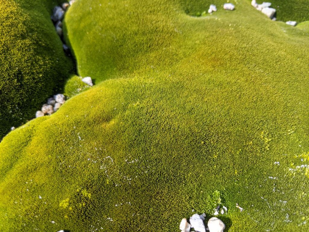
“Moss is the cornerstone of the continent’s biodiversity and analysing it can also tell us about past climates. And now that climate change is messing with Antarctica’s ecology, scientists are trying to work out how to protect the unique moss species that live there.”
Link: Antarctica’s miniature moss ‘forests’ reveal shifts in climate across thousands of years – ABC News
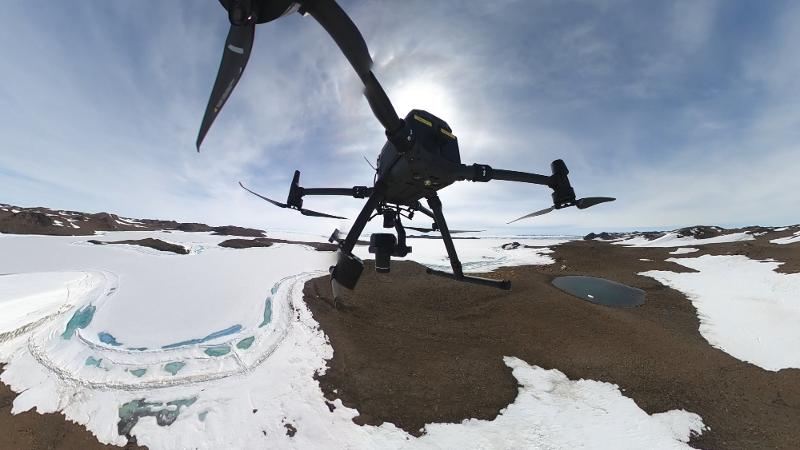
February 2024 – Antarctic Field Work at Bunger Hills Showcased on QUT News
“QUT expertise in operating drones in extreme environments is being harnessed to conduct world-first UAV (drone) and ground surveys in a remote part of Antarctica.”
Link: QUT – Research team conduct deep field UAV operations and science in remote Antarctica
December 2023 – Research Showcased on QUT News
A groundbreaking study conducted by QUT researchers has developed a pioneering ecosystem mapping workflow that combines drones, advanced imaging techniques, and machine learning to map and monitor vegetation in Antarctica’s protected regions with unprecedented accuracy.
Link: QUT – New ecosystem mapping workflow tackles unique challenges of Antarctic continent
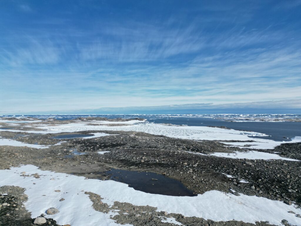
December 2022 – Showcased at SAEF Website
I was showcased on the SAEF news page as part of the CASEY 2022-2023 expedition group heading to Casey Station, AAT, to detect Antarctic moss beds using drones, highly specialised sensor systems, AI and machine learning.
Link: Scientists depart for Casey Station – SAEF (arcsaef.com)
November 2022 – Showcased at QUT Home Website
I was showcased on the QUT Home page promoting a new master’s degree in robotics and artificial intelligence.
Link: QUT – Master of Robotics and Artificial Intelligence

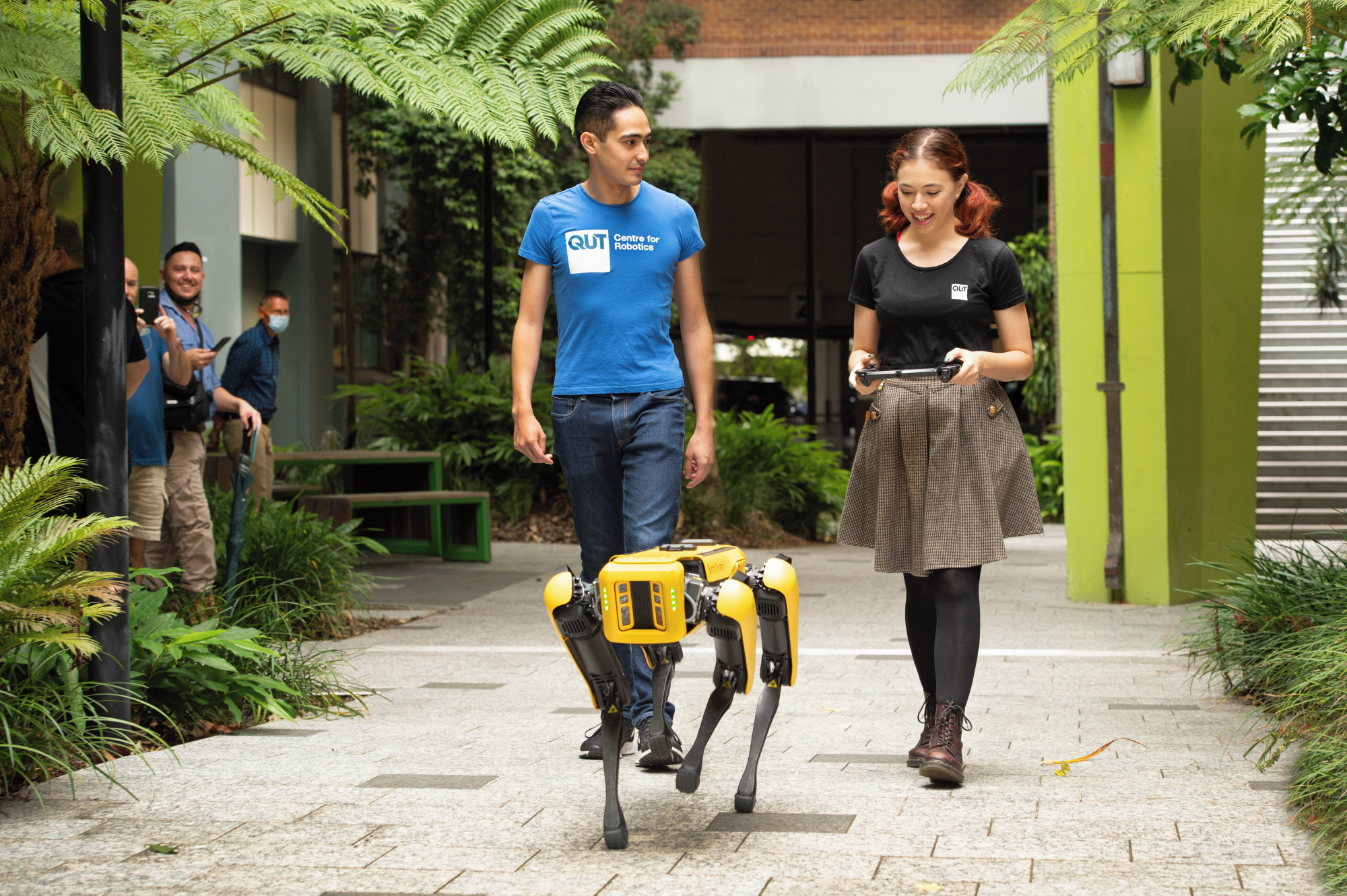
April 2022 – Converting Spot in a Digital Cartographer of Historical Sites
Research fellow Juan Sandino is working with Professor Felipe Gonzalez in using Spot for remote sensing tasks in challenging environments and designing a system to turn Spot into a digital cartographer.
Full story at QUT website: https://www.qut.edu.au/study/engineering/news?id=180736
The Courier Mail news release: https://www.couriermail.com.au/news/queensland/meet-spot-the-doglike-bot-running-around-queensland-university-of-technology/news-story/55061b6f4d70bfc73c32071b9fbece08
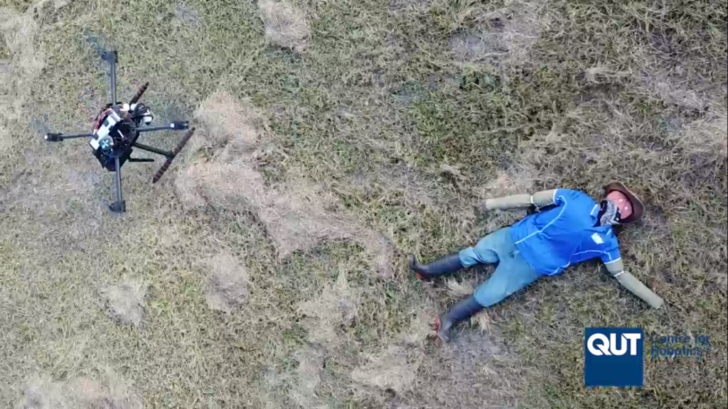
December 2021 – Presented PhD Project in Autonomous Decision-making Onboard Drones in Time-critical Applications
This study established a framework that increases cognitive levels in small UAVs (or drones), enabling autonomous navigation in partially observable environments. The UAV system was validated under search and rescue by locating victims last seen inside cluttered buildings and in bushlands. This framework improved the decision-making skills of the drone to collect more accurate statistics of detected victims. This study assists validation processes of detected objects in real-time when data is complex to interpret for UAV pilots and reduces human bias on scouting strategies.
Full thesis link: https://doi.org/10.5204/thesis.eprints.232513
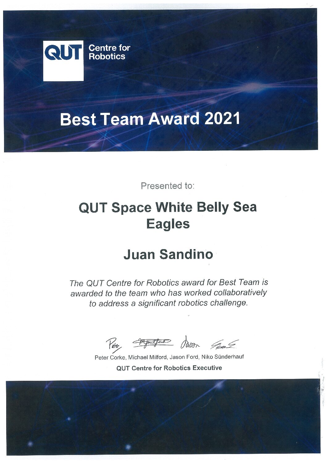
August 2021 – Obtained a Best Team Award from QCR
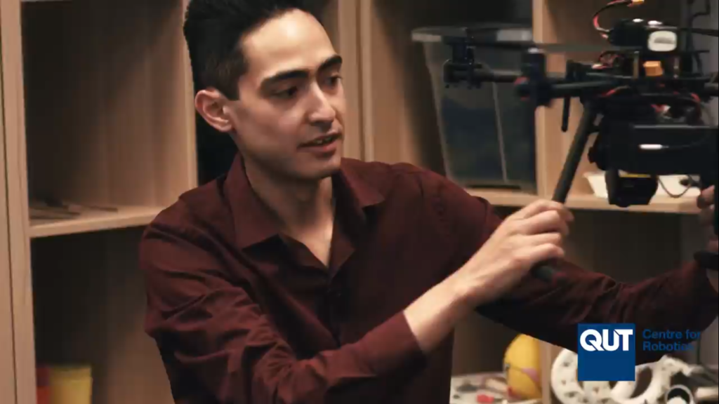
August 2021 – Featured in QCR Promotional Video
My research project and I appear on the most recent promotional video of the QUT Centre for Robotics.
Video link: https://www.linkedin.com/posts/michaeljmilford_qut-phd-drones-ugcPost-6833644547201998848-4SKV/
August 2021 – Autonomous UAV for Planetary Exploration and Biosignatures Detection
Our 2021 OpenCV AI Competition team has developed an autonomous drone that detects biosignatures (mud cracks) and approaches them for closer inspection to advance in the search for early signs of life on other planets.
Demo video: https://www.youtube.com/watch?v=8zIz-bZSByY
March 2021 – OpenCV AI Phase 1 Finalist
Selected as part of the Phase 1 finalists of the “OpenCV AI Competition“ representing the QUT Space White Belly Sea Eagles university team from Region 3: Europe + Russia + Australasia (Australia, New Zealand, neighbouring islands).
Full story: https://research.qut.edu.au/qcr/2021/03/08/opencv-ai-phase-1-winners/
April 2019 – AI from the reef to the cloud
#QUT researcher who uses drones to monitor the health of the #GreatBarrierReef is now turning to artificial intelligence to crunch the data.
April 2018 – Drone technology plants seed for stopping weed invasions
Artificial intelligence, an unmanned aerial vehicle (UAV) and high-resolution cameras have been successfully used to automatically detect and map an aggressive weed, in an effort to stop it spreading through Queensland’s coastal dunes.
Full story: https://www.qut.edu.au/science-engineering/about/news?id=129697
April 2018 – Invasive weed on dunes
Drones are being used to scour our coastline in search of an invasive weed, found growing on the Sunshine Coast and North Shore.
The sky is the limit! Automated detection technology has been tested as part of the bitou bush eradication project in…
Posted by Biosecurity Queensland on Wednesday, 7 March 2018
August 2017 – Monitoring coral bleaching using hyperspectral cameras and drones – QUT and AIMS
Queensland researchers are developing a new tool to ramp up rapid response efforts to coral bleaching on the Great Barrier Reef. QUT is partnering with the Australian Institute for Marine Science to test whether small drones, machine learning and specialised hyperspectral cameras can monitor the Great Barrier Reef more quickly, efficiently and in more detail than manned aircraft and satellite surveys.
August 2017 – Drones used to monitor reefs
Drones could soon become a game changer in the management of the Great Barrier Reef.